Mapping Maps GIF - Country
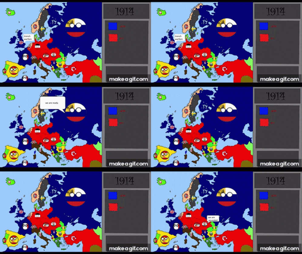
A cartoon map of Europe shows countries changing borders over time, with a timeline panel updating from 1912 to 1945. This 498 x 280 animated GIF is part of our country collection. Created by INDIANMAPPING. View the original animation, share it, or browse related GIFs.
More GIFs similar to Mapping Maps GIF:
GIFimage.net

GIFimage.net
GIFimage.net
GIFimage.net
GIFimage.net

GIFimage.net

GIFimage.net
GIFimage.net
GIFimage.net

GIFimage.net
Link copied to clipboard!